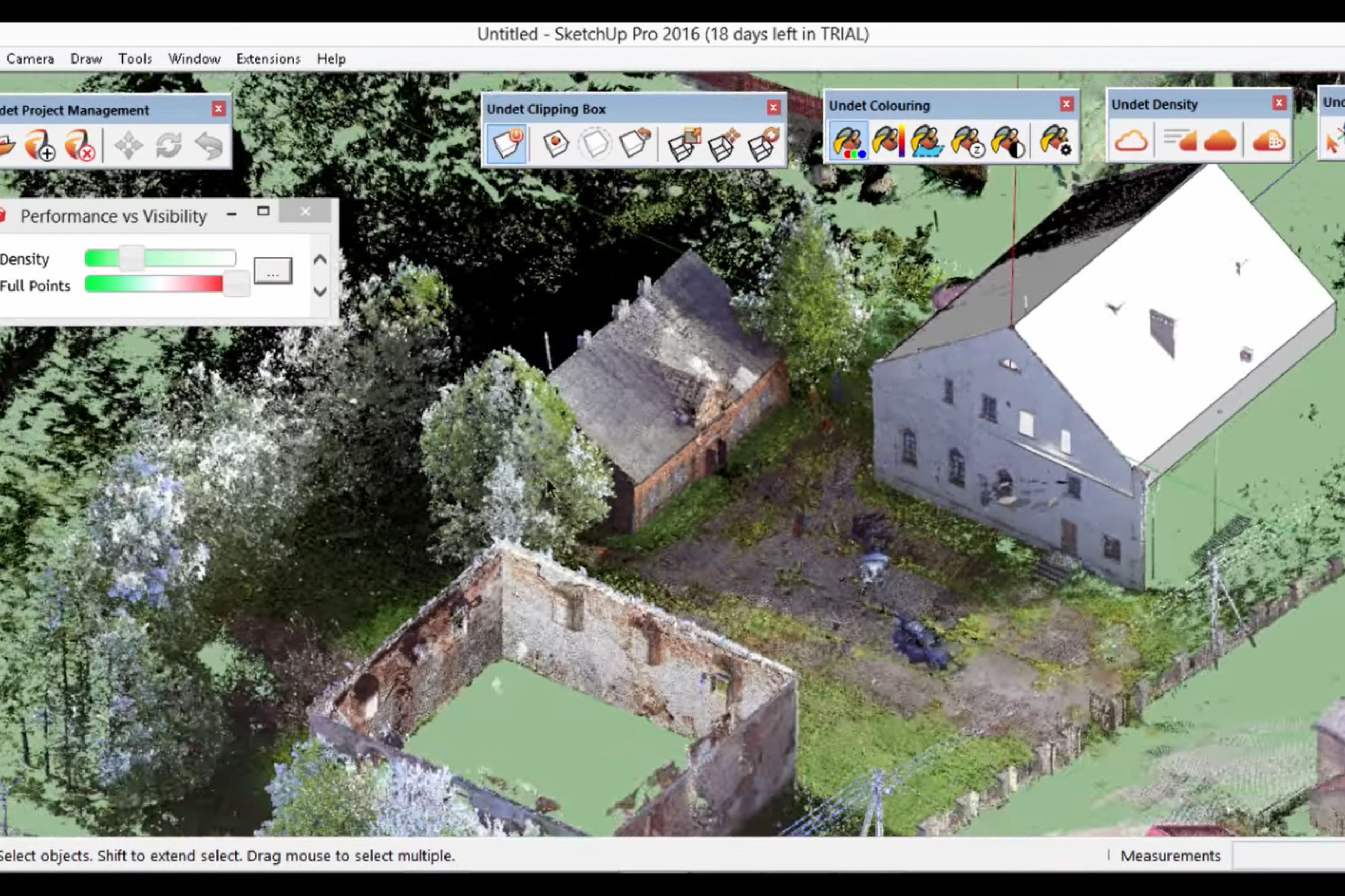
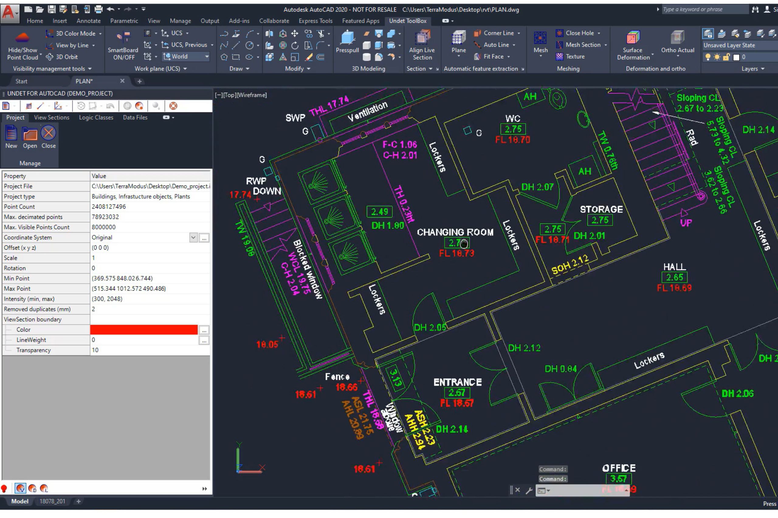
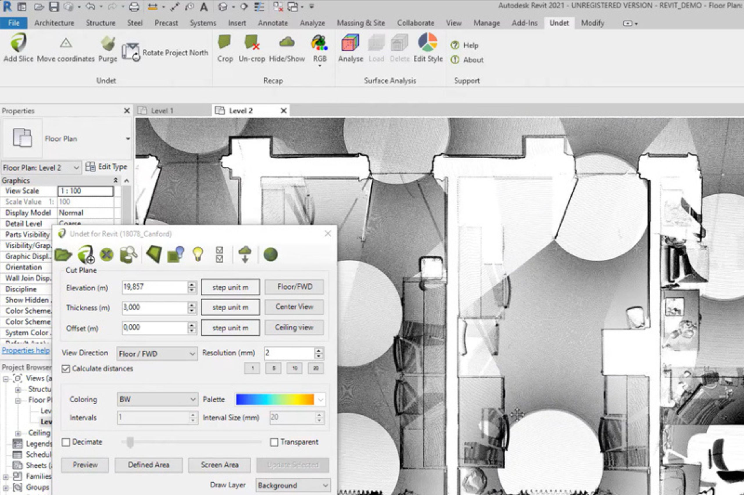
Find the right solution for your needs
Undet products


Find the right solution for your needs
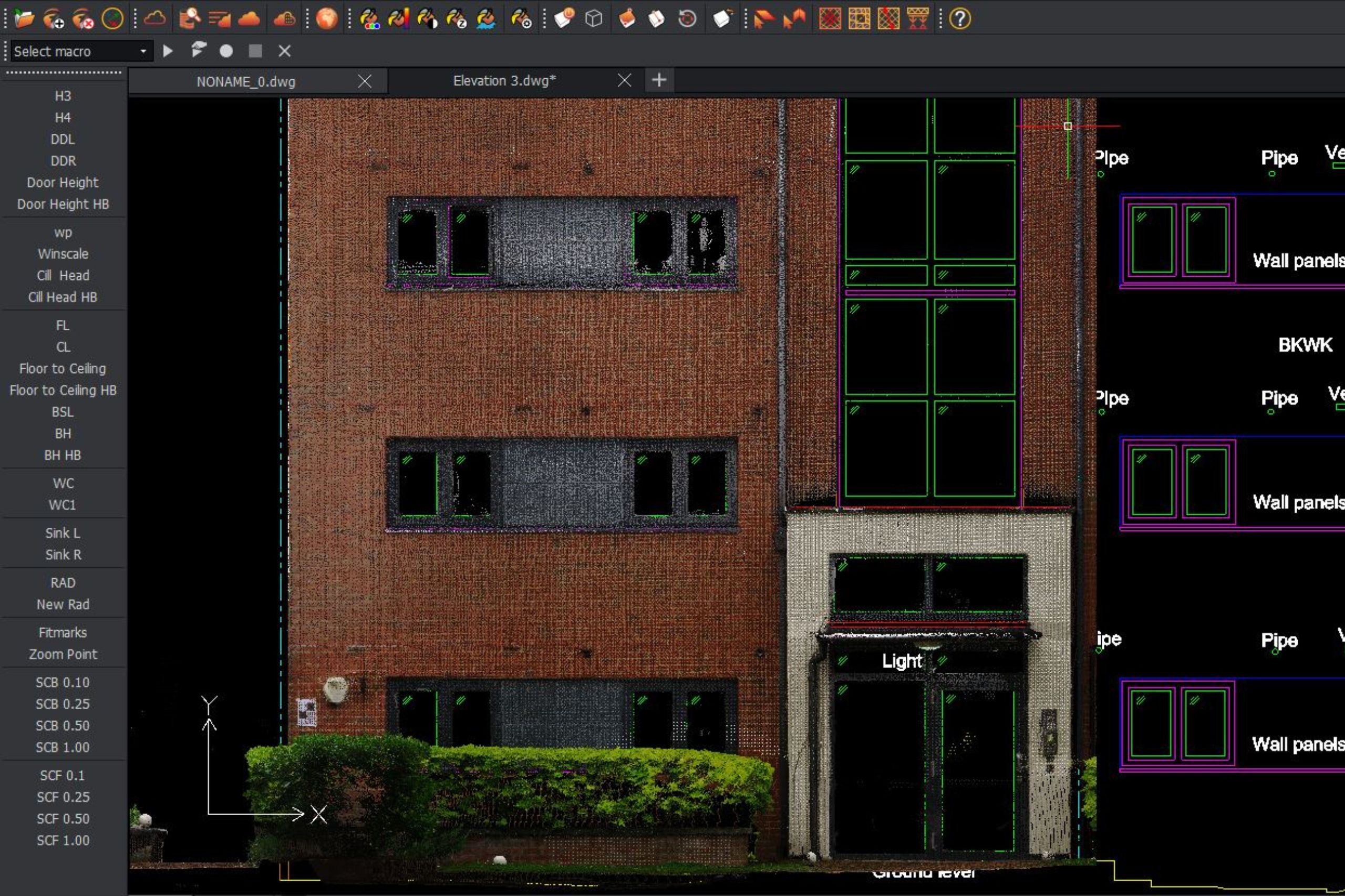
It has already become commonplace for surveying professionals to use terrestrial laser scanners and represent this data as a 3D point cloud. There is also a growing need to convert this data into 2D drawings. Understanding this need, and the challenges in the market, we have partnered with Graebert (the developer of ARES CAD) to create a specialised suite of software to help you quickly and easily produce accurate 2D drawings (elevations, floor plans, sections) based on 3D laser scan data.